
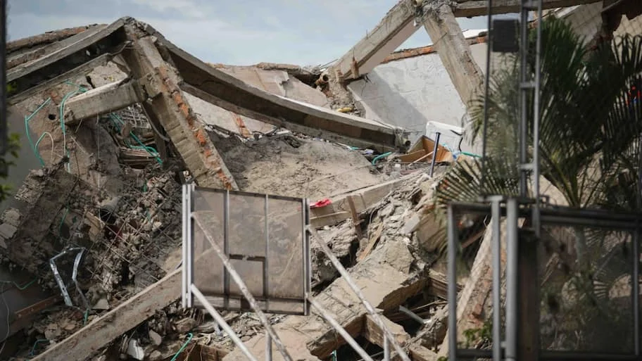
A 6.8 magnitude earthquake rocked Northern Sumatra, Indonesia, on Saturday at a depth of 175 kilometers from Germany’s tracking station for the GFZ German Research Centre for Geosciences. The quake shook up other parts of the island as far as West Sumatra and Padang after a highly destructive 7.7 magnitude earthquake hit eastern parts of Indonesia.
Mass displacement : The National Disaster Management Agency of Indonesia reported that approximately 2,000 people have been displaced to emergency temporary shelters. The initial shallow 7.7 earthquake triggered a temporary tsunami warning, but BMKG lifted the advisory after tide gauges recorded minor wave fluctuations under one meter. The subsequent 6.8 tremor posed no tsunami threat.
Australia’s Tsunami Warning Centre said that both earthquakes did not pose any marine and/or land tsunami threats to Australia or its territory. Indonesia is located in the immediate vicinity of the Pacific “Ring of Fire” tectonic arc characterized by multiple collisions of continental and oceanic tectonic plates, resulting in regular seismic activities, including earthquakes and volcanic eruptions. Rescue efforts : Emergency response teams employed earth moving machinery to dig up trapped villagers who were buried underneath the landslide debris.
