
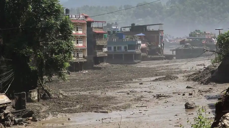
A preliminary analysis by Planet Labs shows signs of an ice-and-rock landslide about 20 kilometres northeast of the Rasuwagadhi Nepal-China border crossing. New Delhi: Satellite images have given an early indication of what may have caused the deadly flash floods in Nepal’s Lhende Khola area near the China border.
At least 100 people have been killed in the disaster, while several others are missing. Nepal officials have also reported 133 Indians among those missing. Nepalese officials said 384 tourists were reported missing, including 291 foreign nationals from countries such as India, the United States, Britain and Malaysia.
Tourism board officials said most of those missing were likely Indians. The disaster has also affected tourists and pilgrims travelling through the region. The area is used by Indian pilgrims travelling towards Mount Kailash in Tibet, one of the most important pilgrimage sites for Hindus. The flooding also struck a region with important cross-border infrastructure and transport links. The Rasuwagadhi crossing connects Nepal with China and is used for trade and travel between the two countries. The extent of the destruction has made rescue operations difficult, with floodwaters damaging roads and other infrastructure used to reach affected areas. Nine people were killed in that incident.
In August last year, the same area experienced a similar flash flood after a glacial lake in Tibet overflowed during a period of high temperatures.
The latest satellite analysis suggests that an ice-and-rock landslide near the glacier zone may have caused a sudden surge of water and debris through the Lhende Khola into the Bhote Koshi river. Further investigation will be needed to establish exactly how the landslide led to the flooding and the movement of water downstream.
